Ölüdeniz Babadağ Weather
One thing sets the air here: the sea breeze. The hour you fly tells you more than the forecast does.
Last updated 2026-09-01To understand the air at Babadağ you only need to grasp one thing: the sea breeze runs the day. The mountain stands close to the sea and rises steeply, so as the land heats up a flow builds from the water inland. A day that starts calm can look completely different by the afternoon. The wind a model showed you in the morning may not apply later; here the hour tells you more than the forecast does.
On this page
The sea breeze
After sunrise the land warms far faster than the sea surface. The air over the warm land rises and cooler air flows in from the sea to replace it. At Babadağ this flow becomes pronounced as the day goes on and makes up most of the wind you feel on the takeoff sites.
The breeze draws its strength from how much the land has heated, so it is stronger on hot clear days and weaker on cloudy cool ones. In summer it regularly reaches a strength that closes the takeoffs in the afternoon.
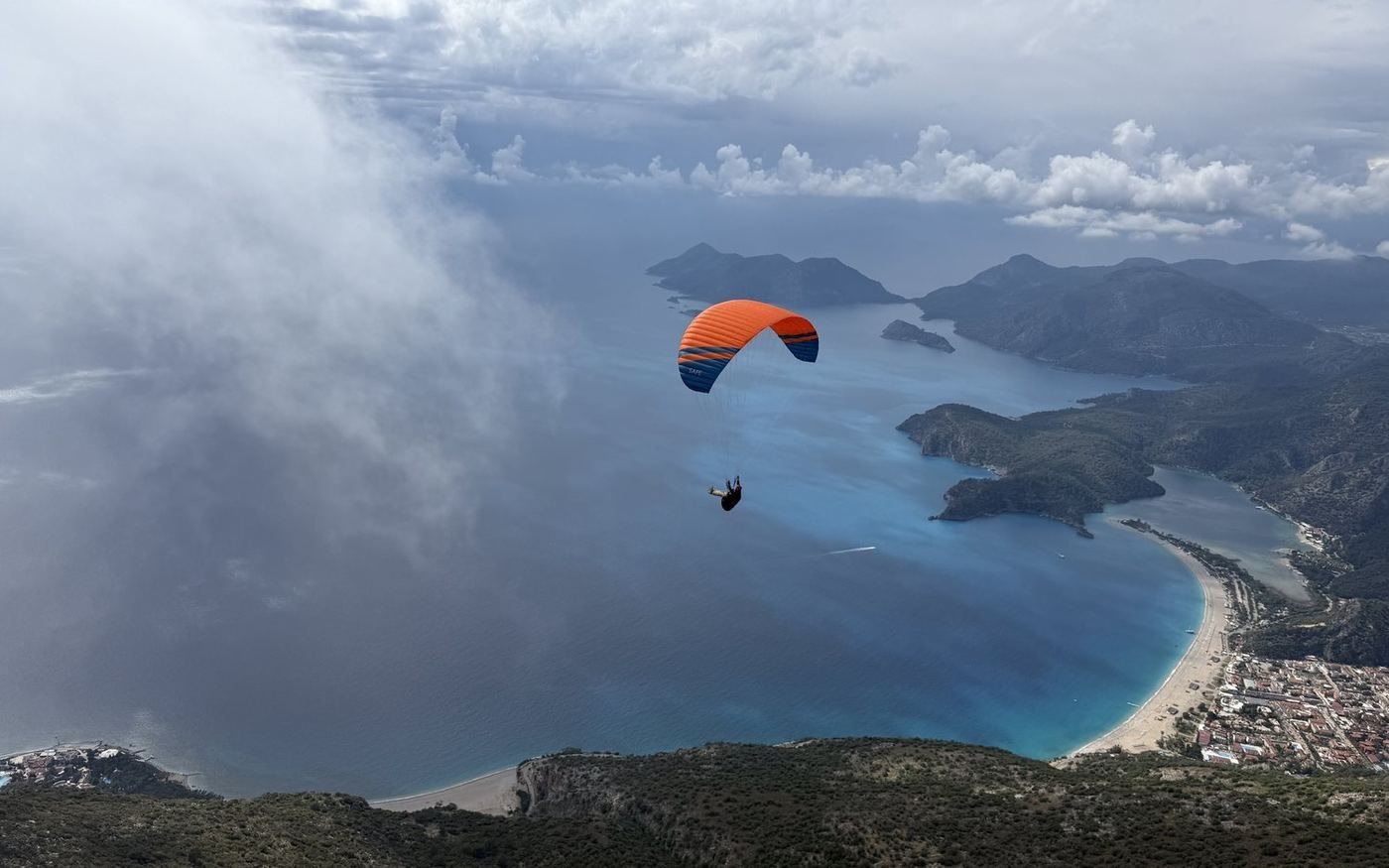
The maximum wind for takeoff is 25 km/h. On summer days the breeze typically pushes against that limit around the middle of the day. A day that is flyable in the morning can close in the afternoon, which is why launching early is often not a preference but the only option.
Anabatic and katabatic flow
Alongside the sea breeze the slope has its own flows. During the day the sunlit slope surface warms and air climbs along it, which is called anabatic wind. This flow is the main source feeding the thermals. In the evening, once the sun leaves the face, the surface cools, the air becomes heavier and sinks down the slope, which is called katabatic wind. The katabatic flow can reverse the wind in the landing area in the evening.
The rhythm of the day
The flying window at Babadağ opens and closes with the clock. The table below describes a typical summer day; in spring and autumn the same cycle runs later and more gently.
| Part of day | What happens | Who for |
|---|---|---|
| Early morning | Calm air, the breeze not yet established. Little or no thermal activity. Takeoff and landing are at their easiest. | Pilots new to the site, first flight |
| Mid morning | The surface warms and the first thermals break away. The breeze begins to build. Conditions change quickly. | Thermal and XC pilots |
| Midday | Thermals at their strongest and the breeze at its peak. In summer the takeoffs may close during these hours. | Experienced pilots, depending on conditions |
| Afternoon | Thermals weaken while the breeze can still be strong. Traffic is at its heaviest. | Judge conditions and traffic together |
| Early evening | The air settles and a second calm window opens. Katabatic flow begins and the wind in the landing area can reverse. | Anyone looking for calm air |
When each of these parts of the day falls depends on the season and on the air mass. If you are new to the area, watching how the wind on the mountain and in the landing area changes through one day will teach you more than any forecast model.
Thermals and cloudbase
Thermals here break away from the warming slope faces and the rocky ground. The local thermal, meaning one that rises regularly from a fixed source, forms just to the right of the 1700 takeoff. You can look for your first climb there after launching, but other pilots will be looking for the same spot, so watch the turn direction and the traffic as you enter it.
| Cloudbase Thermal top |
Usually 2500 to 3500 m |
|---|---|
| On good days Climb ceiling |
Above 3000 m is possible |
| Local thermal Fixed source |
To the right of the 1700 takeoff |
| Most productive period Thermals and XC |
May, June and October |
In midsummer the air is very hot and stable. Despite the high temperatures the atmosphere suppresses vertical movement, so thermals may not be as strong as you would expect. The most reliable thermal period here is September and October.
Inversion
A layered inversion is common over Babadağ. An inversion is a layer where air that should cool with height warms instead, and it cuts off the rise of thermals.
In practice this is what you notice: at a certain height your vario drops off, the air gets rougher and the wing starts working. That layer is the real ceiling for the day. Strong thermals can punch through it into the cleaner air above, but the moment of breaking through is usually the most turbulent part of the day.
Wind direction and site choice
Having five takeoff sites facing different directions makes Babadağ resilient to changes in wind direction. Southerly and 1700 works, westerly and 1200 works, northerly and 1800 and 1900 North work, easterly and Patara works. A shift in direction usually does not end the day, it just changes the site.
Direction tells you which site is open, strength tells you whether anyone flies at all. In a 9 m/s wind from a perfect direction, no site is open. For detail see the wind direction table on the takeoff sites page.
Hazardous conditions
Rotor
When wind crosses a peak or a ridge it leaves a turbulent, rotating mass of air behind it, called rotor. On a mountain as steep and high as Babadağ the lee side always carries rotor risk. If the wind is strong on launch, do not move behind the site into the lee.
Convergence
Where the cool sea breeze meets warmer air coming from inland, a line of convergence forms. Strong and steady lift can be found along that line, which makes it valuable for XC pilots. The line itself moves over time, and at the boundary between two air masses you get sudden changes of direction.
An overly strong sea breeze
This is the problem you meet most often here. If the breeze establishes earlier or builds stronger than expected, the takeoffs close and pilots already in the air have a harder time getting back to the landing area. In a strong breeze your ground speed drops and you need more height to reach the landing.
Frontal passages
In winter and spring fronts cross the region. Ahead of a front the wind strengthens and changes direction and the cloud structure deteriorates quickly. No flying decision is made on a day with cumulonimbus, since that cloud type produces both violent lift and violent sink.
Early warning signs
Signs you can read in the air or on launch, without looking at a model, that tell you conditions are deteriorating:
- White caps on the sea. If foam is increasing on the water, the breeze is building.
- The wind on launch steepening. Surface wind that is rising and becoming irregular means the window is closing.
- The wing pulling ahead. If you cannot hold the wing under control before launch, the wind is already over the limit.
- Clouds speeding up and lowering. Cumulus developing vertically with a darkening base is the first sign of a cumulonimbus.
- The windsock in the landing area stiffening. The wind down there can change independently of the wind up here, so always check before you commit to landing.
- Ground speed dropping. If you notice you are making less progress along the same line, the headwind is increasing. Update your landing plan early.
The calm air of the morning tells you nothing about the rest of the day. The most common mistake pilots new to the area make is looking at the morning conditions and flying the same plan in the afternoon. Judge the conditions of the hour you are actually launching in.

For month by month conditions see the season guide, and for the forecast models used here and how to read them see forecast sources.